Tulkas wrote:
So if I understand correctly you need to have the true elevation profile to compare to the VE line if you want to tease out the CRR from the CDA.
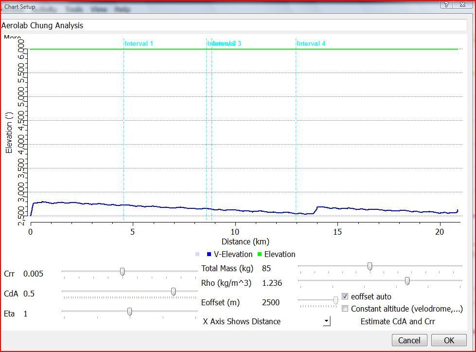
Not exactly, but that's the easiest way. (The harder way involves many tests over the same course where you vary speed over sub-segments of the course). In fact, all you really need is the elevation difference between known points on the course: if you happen to pass by topographic benchmarks with known altitude, you can use that to match the overall profile
Quote:
What I can't figure out is how you get the true elevation line into the graph. [..] Interestingly, all the group rides I've done on my road bike (only 3 sadly) have altitude data, despite the fact that they use the same Powertap and Garmin 310 head unit with identical settings.
That is interesting. However, the 310 doesn't have a barometric altimeter -- it uses GPS to estimate altitude, so the elevation trace you get from it probably won't work for you anyway even if you had it.
If you really, really, want to separate CdA and Crr, you'll either have to do the multiple replicate tests, or you can look up known elevations at a couple or few points of your course.
Or, you could blow that off, assume a reasonable value for Crr, and just look at changes in CdA. That's what many (most?) people do.

 [/url]
  [/url]
  [/url]