General Questions
- How do you calculate the air density from this data? http://w1.weather.gov/.../obhistory/KSAV.html
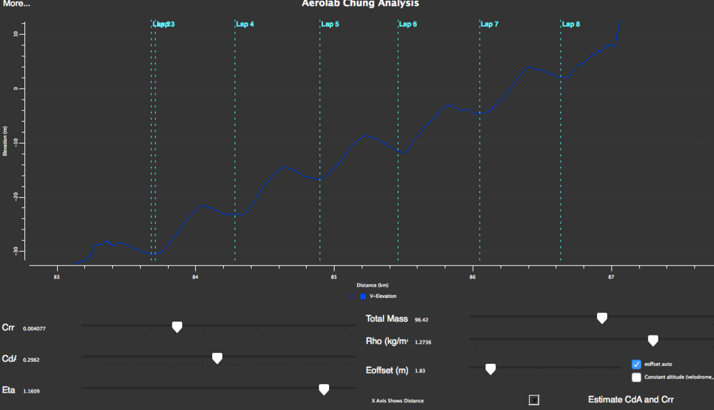
- When using a loop course how do you accurately determine the beg and end of the loop in the Aerolab interface so that you know the actual elevation is the same?